Why Weather Matters for Hikers
Hikers face unique weather challenges. Temperature drops roughly 6.5°C per 1,000 meters of elevation gain — so conditions at the summit can be dramatically different from the trailhead. Afternoon thunderstorms are common in mountains; planning to summit early can avoid lightning risk. Air quality during wildfire season can make hiking harmful. The right weather app helps you pack appropriately, choose your timing, and stay safe.
1. Weather World AI
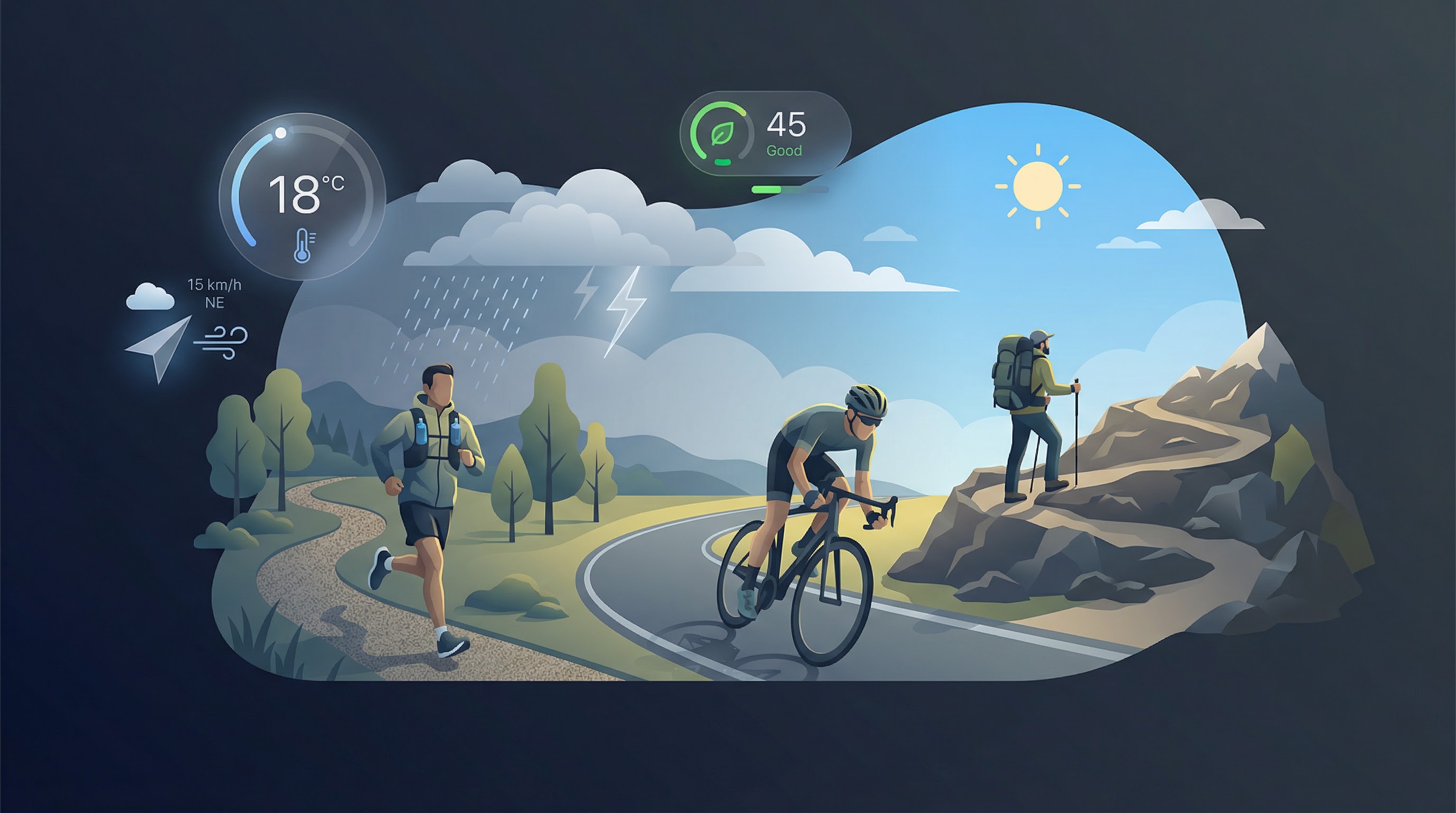
Weather World AI combines real-time weather forecasts with air quality data and AI-powered health insights. Perfect for hikers who want to know not just the temperature but also whether the air is safe to breathe — especially important during wildfire season. The free dashboard shows hourly forecasts, 10-day outlooks, and AQI for any location worldwide. Check conditions at your trailhead and, when possible, at elevation.
2. Mountain-Forecast.com
For alpine and high-elevation hikes, Mountain-Forecast provides elevation-specific forecasts. Enter a peak name or coordinates and get conditions at multiple elevations. Temperature, wind, cloud base, and precipitation are shown for the summit, mid-mountain, and base. This is critical for avoiding hypothermia on exposed ridges or heat illness on long ascents.
3. Windy
Windy offers beautiful visualizations of wind, precipitation, and pressure patterns. It is particularly useful for understanding wind conditions at different altitudes — crucial for exposed ridge walks or coastal hikes. The app uses multiple forecast models (ECMWF, GFS) so you can compare and assess confidence. Wind speed and direction at various heights help you decide whether a summit attempt is safe.
4. Air Quality Apps (AirVisual, IQAir)
When air quality is a concern — wildfire smoke, dust storms, or urban pollution — dedicated AQI apps provide detailed data and pollution forecasts. Many hikers overlook AQI, but exercising in poor air can negate health benefits and worsen respiratory conditions. Pair these with Weather World AI's integrated AQI for a complete picture.
Pro Tips for Hikers
- Check the forecast the night before and the morning of — conditions can change quickly.
- Look at hourly data — afternoon thunderstorms are common in mountains; plan to summit early.
- Factor in elevation — it can be 15°C cooler at the summit than at the trailhead.
- Monitor AQI — especially during fire season. Hiking in smoke is harmful.
- Have a backup plan — know your bailout routes if weather deteriorates.
Plan your next hike
Check weather and AQI for your destination on our Weather Dashboard or explore the Global AQI Map.
Weather World AI Editorial Team
This article was written and reviewed by our core team of meteorology enthusiasts and environmental health researchers. We rely on open, government-backed data sources (like NOAA and ECMWF) and adhere to strict editorial standards to ensure our weather, climate, and air quality information is accurate, up-to-date, and actionable.